Snow, snow and more snow
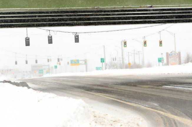
Monroe. Up to 30 inches of snow fell on southern Orange County; we may see more snow this weekend and next.


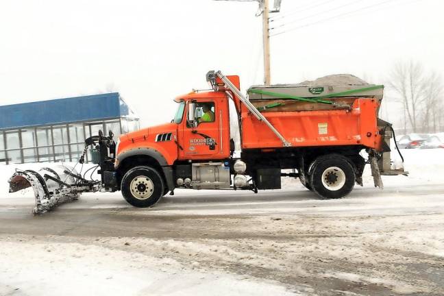
Probably the only groups happy about the massive snowfall of this week were school kids and snow removal contractors.
The Monday/Tuesday Nor’Easter of this past week, which featured a ton of the white stuff falling on Tuesday, Groundhog Day (offering analogies to Bill Murray’s movie), was the biggest storm to hit the metro New York area in five years.
Bernie was here
Even meme makers got into the act, creating offshoots of the recently and wildly popular Bernie Sanders memes, sticking him into snow drifts and next to newly built freshly fallen snow white snowmen.
Reports ranged from 16 to more than 30 inches through Wednesday morning in southern Orange County, but with winds causing huge drifts throughout the area, it was hard to get fully accurate measurements.
Schools
School districts were inconsistent with how the first two school days of the week played out. With a only limited number of weather days available for closure still available before days would be called back, some opted to go with virtual learning on some days, and traditional snow days on others, requiring students and families to maintain the flexibility they were asked to have since the start of the pandemic.
Most businesses, too, were closed, and a state of emergency was put in place. Those who were able to work at home were presumably following their pandemic remote work plan set in place from last spring.
From the Compound
Facebook’s “First Due Weather from the Compound,’ which provides extreme hyperlocal weather forecasts, was again out in front of the storm, offering evolving prognostications and detailed maps days ahead of the first flakes to fall.
FDW, which now has more than 13,350 followers, was the first to boldly forecast up to three feet of snow for southern Orange County.
According to FDW, a stalled/nearly stationary/slow moving low off the southern New Jersey coast performed as anticipated, bringing bands of heavy snow, in a counter clockwise direction, directly over Orange County for an extended period of time Monday and Monday night before the low began its track slowly northeastward toward on Tuesday.
Also as forecasted, additional scattered snow showers fell on Wednesday morning, with just about all area school districts opting for two-hour opening delays for both their in-person and virtual students.
“LOL,” wrote FDW during one of its storm update posts. “I told you it would be one to three feet! Some of you will need to eat the offensive comments you provided pre-event.”
But ... wait, say it isn’t “sno!” FDW is forecasting more snow for this weekend.
“Our next event looks to pass through on Friday morning,” wrote FDW. “It looks like it starts as snow and changes to rain around lunchtime. It could provide one to two inches of snowfall before changing to rain.”
The more promising, though still currently evolving, snowfall is forecast for Super Bowl Sunday, beginning in the morning and into the evening.
“Right now, more guidance is keeping the event just south and east of our area as a miss,” wrote FDW. “We know it will likely come further north and west and into agreement with the Euro, which is the outlier model right now. Place it on your radar as a potential event that could possibly provide significant snowfall of six inches or more.”
Going beyond, there is currently another chance of snow around next Wednesday, according to FDW.
Ugh. What to do?
Don’t stock up on bread and milk just yet, but follow FDW’s advice: “Keep watching.”